The Swartberg Pass

The Swartberg Pass is closely linked with Prince Albert. George Rainier, the magistrate here in the 1870's pushed for a road to be built over the mountains when Meiringspoort was regularly washed away by floods. The project was discussed and finalised in MP Jan Luttig’s home at the top of Kerkstraat, the first section of the road was constructed from the village towards the mountains and when Thomas Bain took over the construction in 1883 the first Zwartberg Convict Station was established at Eerstewater, on the Prince Albert side of the Pass.

The 27km long gravel road takes visitors through magnificent scenery and reveals natural wonders, from the geology to the vegetation and birdlife, and if you are lucky, the fauna, as it crosses the Swartberg Mountains between Prince Albert and Oudtshoorn. Recognised as one of the finest dry-stone mountain passes in the world, it was designed and constructed by the 19th century civil engineer Thomas Bain between 1881 and 1888.
(Read how the Pass was constructed here)
It takes about an hour to travel between Prince Albert and Oudtshoorn (97km) but you’ll want to stop and admire the views, so factor in a lot longer for your drive. The gravel road is maintained by the Provincial Roads Department but it’s best to enquire about the state of the road before venturing forth. The steep gradients, zig-zags and deep drops at the side of the road can be challenging for some drivers and their passengers. Most vehicles can cross with ease but those with low clearance would be advised to stick to the tarred route between the two towns, which takes you through Meiringspoort.

The Swartberg Pass was declared a National Monument in 1988 and is part of the Swartberg Nature Reserve, which was declared a world Heritage Site in 2004. The top of the pass (called Die Top) at 1583 meters above sea level is at 33°21′8″S 22°2′45″E.
Our more energetic visitors might like to hire a bicycle in Prince Albert, or run or walk along part of the road. There are picnic sites at Eerstewater and at a couple of other places along the route. Do not light a fire!
Photo: Marina Burger
"The Swartberg mountains are amongst the best exposed fold mountain chains in the world, and the pass slices through magnificently scenic geological formations.The contortions in the rock display astonishing anticlines and synclines, and the vivid coloration of the surrounding Quartzite is remarkable.
The Pass is especially known for the unusual geology that is exposed at its Northern end. Here, seven-hundred-metre-high quartzite cliffs of the upper Table Mountain Group can be seen, and these are often tilted through 90 degrees (sometimes even more)."
https://en.wikipedia.org/wiki/Swartberg Pass

Registered tour guide John Claassens of John's Donkey Tours can take you on a guided tour of the Pass and on a day trip to Gamkaskloof (Die Hel), the secret valley whose road is accessed in the Pass.
Photos courtesy of John's Donkey Tours

The road to Die Hel... Gamkaskloof
Hiking Trails for day hikers and overnight routes have been established by Cape Nature. Click here for information.
Those interested in indigenous plant life, from Karoo species to fynbos, and in birds will find the Swartberg Pass offers a wonderful variety.
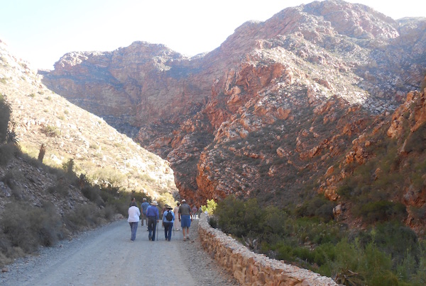
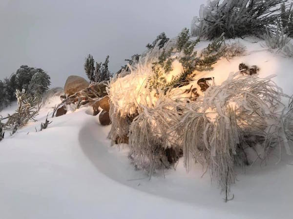
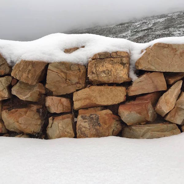
In Winter the Pass can be closed due to snow. June 2020 brought the first snow of the year. These photos are courtesy of Collette Hurt, who regularly contributes photos for our facebook page.

For the adventurous...
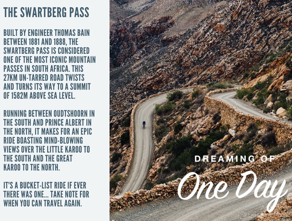
Photo from Discoverctwc facebook page
Building the Swartberg Pass Thomas Bain, master engineer